UAE Infrastructure & Mobility
Dubai Metro Blue Line: The New Transport Map Every UAE Passenger Transport Company Should Be Studying Now
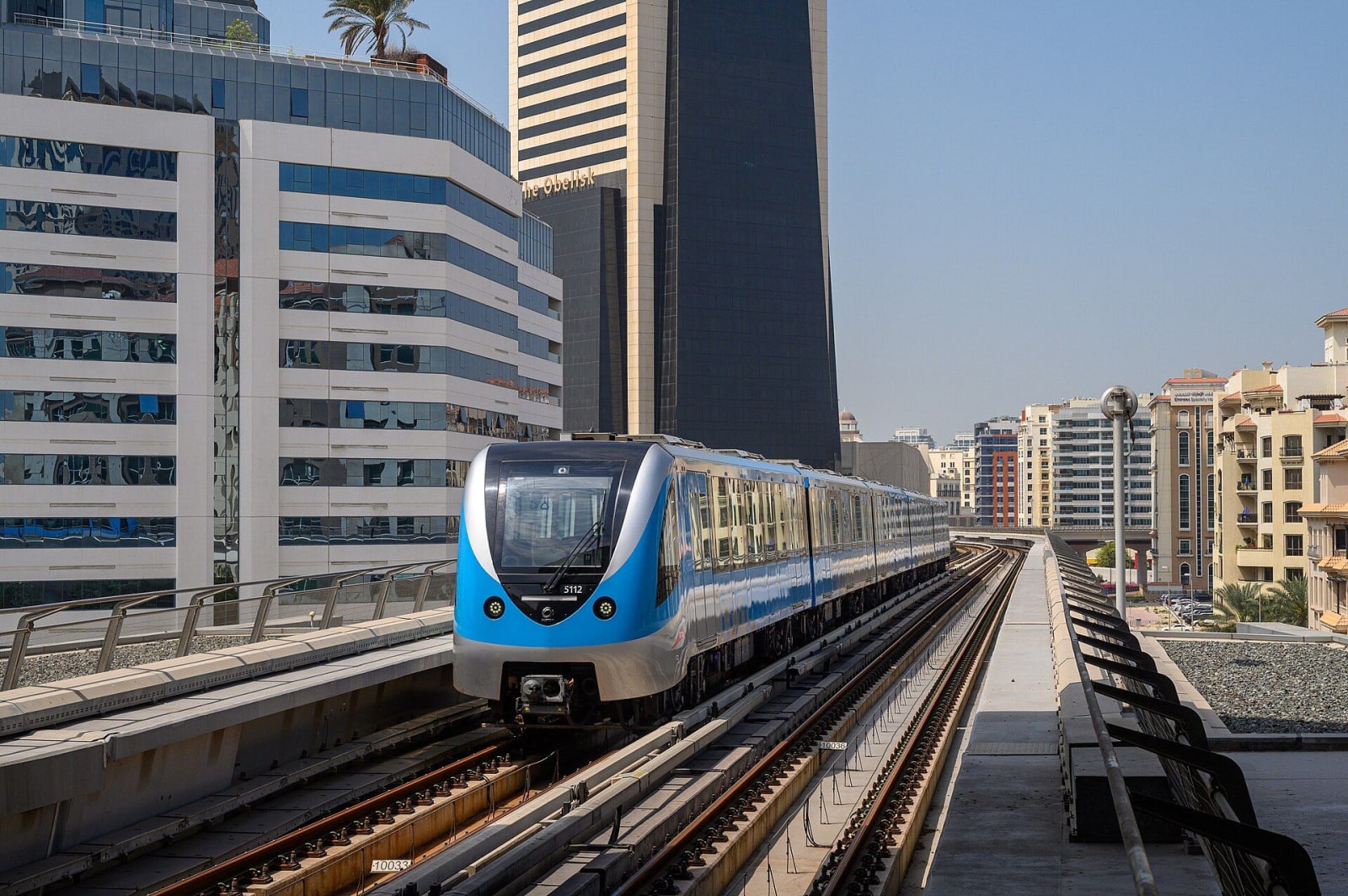
Sheikh Mohammed bin Rashid stood at a tunnel entrance in International City in May 2026 and launched a 2,000 tonne tunnel boring machine named Al Wugeisha on its first run toward Mirdif. That machine, nearly 10 metres across, is now one of several digging the tunnels for Dubai's Blue Line, a new 30 kilometre metro connecting nine districts that today have no direct rail link at all.
The target opening date is 9 September 2029, chosen deliberately to mark Dubai Metro's 20th anniversary. That's roughly three years away, which might make this feel like a distant planning problem rather than an urgent one. It isn't. The transport companies that study this map now and start repositioning their routes will be years ahead of the ones who wait until the stations are actually open.
What's actually being built
The Blue Line runs 30 kilometres, with 14 stations split between nine elevated and five underground, 15.5 kilometres running underground and 14.5 kilometres elevated. It connects into the existing network at two points, the Red Line at Centrepoint Station and the Green Line at Al Khor Station, meaning it isn't an isolated line but an extension of a network people already use daily.
The districts it serves read like a list of areas that have historically been underserved by rail, Dubai Festival City, International City, Al Rashidya, Al Warqa, Mirdif, Dubai Silicon Oasis, and Academic City among them, along with a connection point near Dubai Creek. RTA has said the line is designed to eventually serve areas home to more than a million people, with ridership projected at around 200,000 passengers a day by 2030, and rising well beyond that as the surrounding districts continue to grow.
Major tunnelling work started in May 2026, which means this project has moved from planning into genuine construction. A line at this stage, with tunnel boring machines already running, is a real, committed piece of infrastructure, not a proposal that might change.
Why transport operators should study this map now, not later
Every one of those nine districts currently generates real, ongoing transport demand, corporate staff transport, school runs, residential shuttles, retail and hospitality workforce movement, that today has to happen entirely by road because there's no rail alternative. Once the Blue Line opens, a meaningful share of that demand shifts, at least partially, toward a station based model.
This isn't a reason to panic about losing business in these areas. It's a reason to start thinking, well before 2029, about which of your current routes in these districts will look different once a station opens nearby, and how you want to be positioned when that happens.
Reading the map district by district
Academic City is a natural fit for student transportation. A large student population living in areas not directly served by the current metro network today relies heavily on private transport arrangements, university shuttles, and ad hoc transport companies. Once a station serves this area directly, some of that demand shifts to feeder services connecting residential areas to the station rather than direct point to point routes to campus.
Dubai Silicon Oasis represents a significant employee transportation market, home to a substantial number of technology and business park workers who currently commute largely by private vehicle or company arranged transport. A direct rail connection changes the calculation for companies currently running dedicated staff shuttles, potentially making station feeder routes a more efficient option than full point to point service.
International City has long been one of Dubai's largest workforce accommodation hubs, and workforce transportation in and out of this area is a substantial, established market. A direct metro connection here is likely to be one of the most consequential changes on the entire line, given the sheer volume of daily movement in and out of this district already.
Dubai Creek and the surrounding waterfront developments lean toward hospitality and tourism transport demand, hotel staff, guests, and visitors moving between accommodation and the wider city. A rail connection in this area supports exactly the kind of tourism transfer business many operators already run, just with a new station based option added to the mix.
Mirdif and Al Warqa are established residential communities where school transport and general residential shuttle services already represent meaningful, ongoing business. New rail access typically increases overall mobility in an area rather than simply replacing existing trips, which tends to grow the total addressable market for local transport rather than shrinking it.
Dubai Festival City brings retail and hospitality employee transportation into the picture, an area with substantial commercial activity and a corresponding workforce that needs reliable transport, much of which currently happens without any rail alternative at all.
The shift from long routes to feeder networks
The pattern across nearly all of these districts points in the same direction: the opportunity is moving from long, direct routes toward high frequency feeder networks connecting residential communities with metro stations. This mirrors exactly what's happening with Etihad Rail's national network, just at a city scale rather than an inter emirate one.
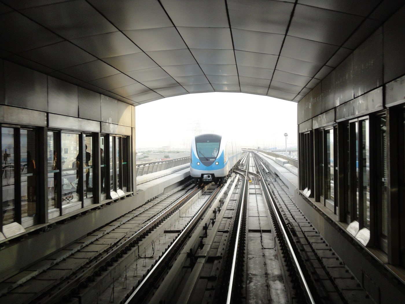
For operators, this suggests a genuine shift in fleet composition over the coming years. A fleet built primarily around larger vehicles for longer, direct routes may need to evolve toward a mix that includes more frequent, shorter capacity vehicles suited to high frequency station feeder work. This isn't a change to make overnight, but it's worth factoring into vehicle replacement and expansion decisions made between now and 2029.
What this means for customers
For residents and workers in these nine districts, the Blue Line represents a genuine improvement in transport choice. Shorter, more predictable commutes, reduced dependence on road traffic for longer trips, and a real alternative to private vehicle ownership for people whose daily movement currently has no good rail option.
Transport companies that position themselves as the reliable local connection to this new network, rather than trying to compete with it on longer routes it will serve better, are offering their customers a genuinely improved experience: predictable short local transfers combined with fast, traffic free movement across the rest of the city.
Why three years is not as much time as it sounds
It's easy to treat a 2029 opening date as something to think about later. In practice, the operators who benefit most from infrastructure shifts like this are the ones who use the lead time to build relationships and pilot services well before the need becomes urgent.
A corporate client currently paying for point to point staff transport to Silicon Oasis or International City is far more likely to switch providers, or restructure their contract, if a competitor has already proposed and tested a feeder model before the station opens, rather than scrambling to react once it does. The same applies to schools, universities, and hospitality operators along the line. Early movers get to shape the relationship on their terms rather than reacting to a client's own initiative once the change is already obvious to everyone.
How TransLogix helps operators plan for this
Comparing existing routes against future Blue Line stations, and understanding what a feeder based restructure would actually cost and how it would perform, requires the same route level data every other infrastructure driven decision needs, accurate cost and duration figures for the routes you run today. TransLogix tracks exactly this, distance, time, fuel, and driver hours by route, which makes modelling a future feeder network against a specific station a matter of adjusting existing data rather than building a business case from scratch.
As stations along the Blue Line move from construction toward opening over the next several years, operators using this kind of route level visibility will be able to redesign their service around each new station as it becomes relevant, rather than waiting for a single opening day to force the change all at once.
The connection point worth watching closely
One detail in this project deserves particular attention: the Blue Line connects directly into the existing network at Centrepoint Station on the Red Line and Al Khor Station on the Green Line. This matters because it means the Blue Line isn't a standalone addition, it's an extension of a network that already carries hundreds of thousands of daily riders across the city.
For transport operators, this has a specific implication. A feeder route built around a single Blue Line station doesn't just connect that district to nine other Blue Line stops, it connects that district to the entire existing metro network, Red Line and Green Line included. A staff transport contract built around Silicon Oasis station, for example, potentially opens up efficient rail based movement across a far larger part of the city than the Blue Line alone would suggest. This network effect is worth factoring into any feeder service planning, since the addressable destinations from any single station are considerably broader than the Blue Line's own nine districts.
The bottom line
The Blue Line is genuinely under construction, with tunnel boring machines already running beneath nine Dubai districts that currently have no direct metro access. The 2029 opening date is real, and the districts it will serve represent some of the most consistent transport demand in the city today.
Waiting until the stations open to start thinking about this is waiting until your competitors have already had years to prepare. The map is public now. The districts are known now. The only question is which operators actually study it and start planning around it today.
Want to see how TransLogix handles this for your fleet?